The 2025 Calendar Voting is now live! Click here to vote!
Hells Canyon Dual Sport Ride the Oregon Side
- fontanaman
- Contributor
- Veteran
- Posts: 3345
- Joined: Fri Mar 08, 2013 9:38 pm
- FJRModel: 2017 FJR, 2017 DR650
- Location: Spokane, Washington
- x 3633
- x 5050
Hells Canyon Dual Sport Ride the Oregon Side
This year it is all been about the FJR. I have put about 10,000 miles on the FJR, meanwhile the Mighty DR650 Bushpig has been left wanting. With a low snow pack this year I hoped the mountains would be snowfree by June or mid June. That was not to be. In July my lovely bride and I were on a long trip and while were were gone Spokane was simmering in 95° to 107° heat the entire time we were away. So even if I was around the Bushpig would have rested. Wifey and I had commitments in early August.
Finally the heat and commitments have subsided and it is time to let the FJR sit and ride the Pig! So I looked at the Air Quality layer on Google maps and noticed the Oregon side of Hells Canyon was smoke free while other places I had my eye on were not. I hate forest fire smoke.
So it was on to Lewiston Idaho and ride down the Old Spiral Highway, once again! Ha it is tough living here.
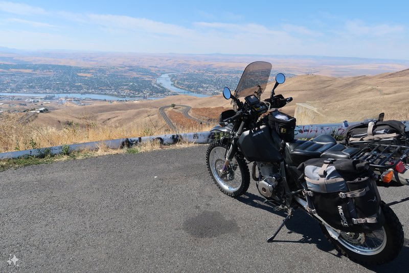
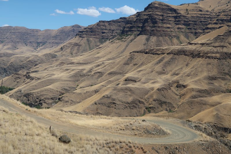
You can see the road snaking down to the Snake River.
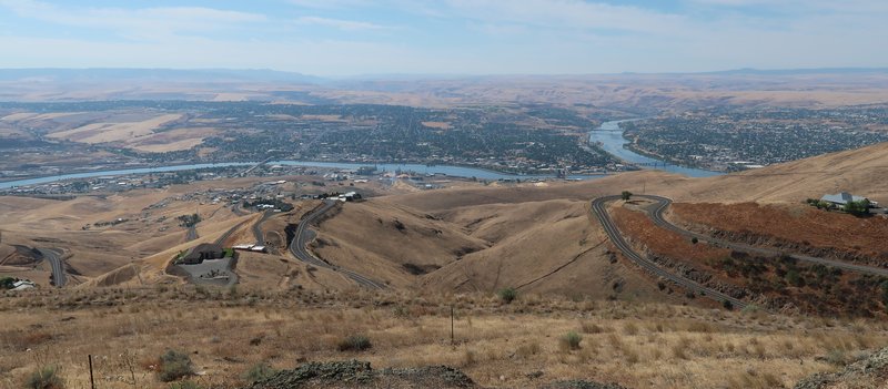
My first destination was see Hole in the Rock and I did! Hole in the Rock is about 9 miles off the Rattlesnake Grade route near Anatone Washington. I have road by many times but the DR650 opens lots of opportunities to ride where I haven't been.
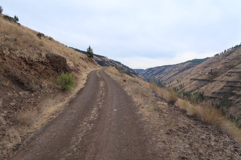
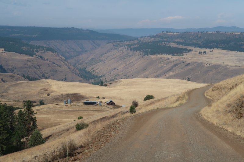
I am about to drop into the slot just above the bike. It drops about 2700' in 4-5 miles. Easy gravel road and this become a theme on this ride.
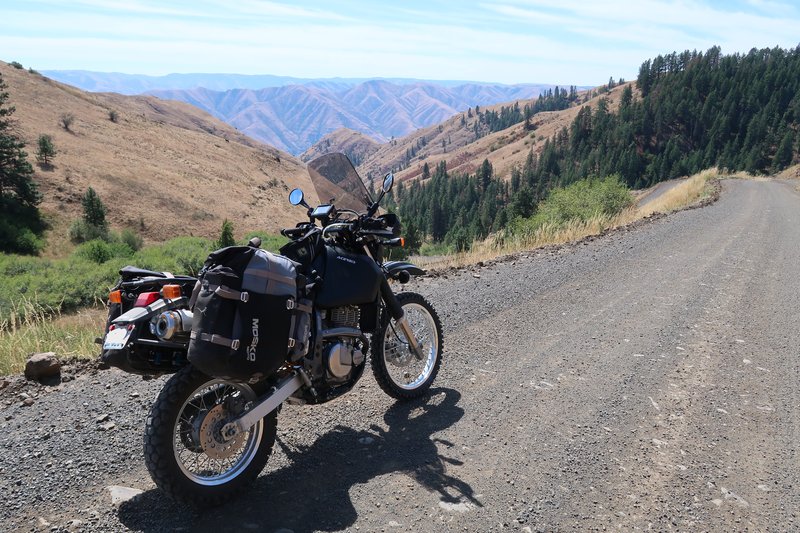
Down, down, down I go, this hill I mean. Later in the day down, down, down I go was more literal.
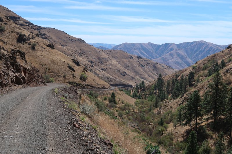
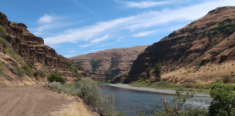
I arrive at the bottom along the Grande Ronde River.
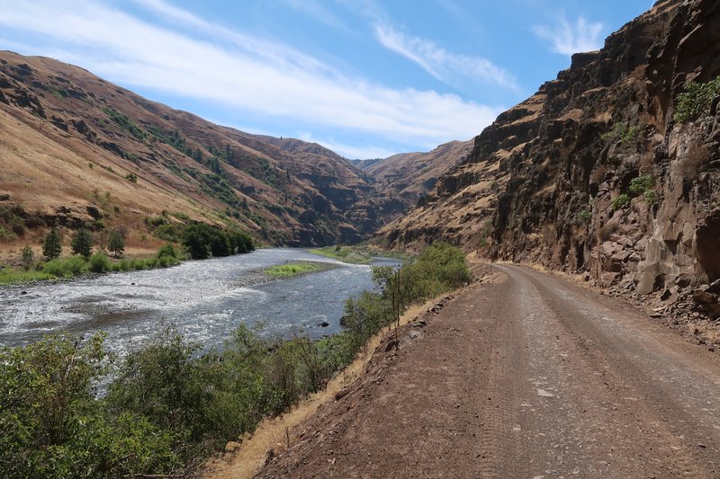
These mountain sheep and one had a tracking collar. Perhaps the one with the collar might be Bust in an alternate universe living his dream.
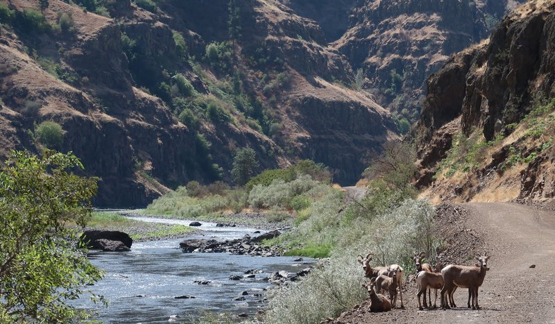
I rode right by them after taking a photo, happy they didn't try to ram me.
It was very scenic here and I was in my happy zone. Life is good.
I have arrived!
Just on the other side.
Hole in the Rock was created by pioneers seeking at homestead along the river.
The next objective was to ride west of Hwy 3, on the west side of Rattlesnake Grade and on down to Enterprise Oregon on gravel roads where I have never been. Woohoo!
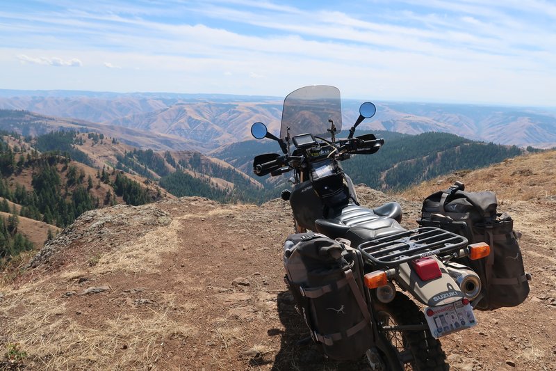
I was riding along a ridge line and this came in to view.
Add the Mighty DR650.
Then the adventure began. At an intersection there was a sign saying road closed. Not know which road at the intersection is closed, I suspect it refers to my route but plausible deniability, something Boeing is very good at, gave me the chance to risk it and keep on going. A few miles later I met with a Firefighter Medic who was very kind. We discuss why I didn't understand the sign and he provided some options. I could continue but the road was rough and there was active operations ahead or a I could just turn around. I choose to turn around and stay out of the way.
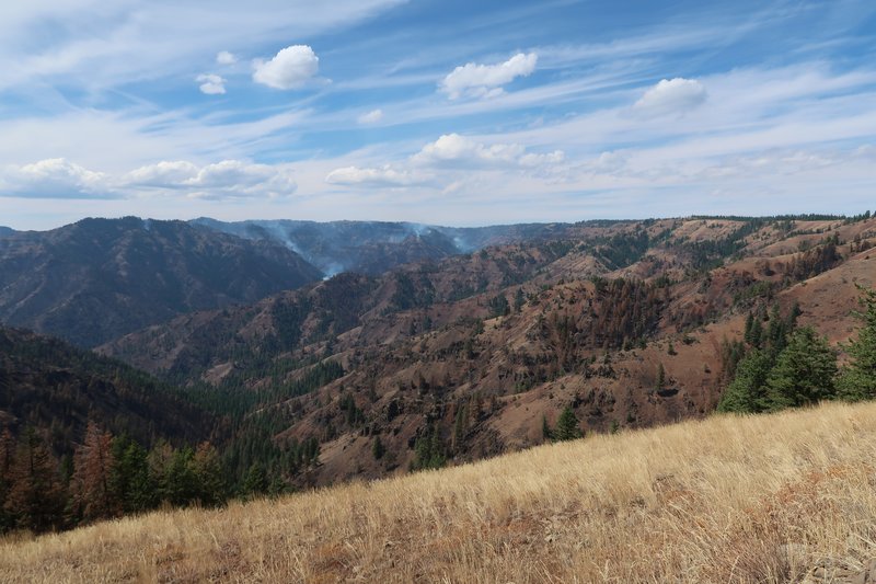
I was near the fire.
I went back out to Hwy 129 Rattlesnake Grade and rode it down to the Grande Ronde River. Tough duty. This is were I learned the newly installed IRC TR8 is very good on twisty pavement. It stuck like glue. Hardly new it was a knobby. Zow.
I rejoined the planned route on the Grande Ronde River near Cougar Creek. No Cougars where spotted of either the 2 or 4 legged variety.
Up we go.
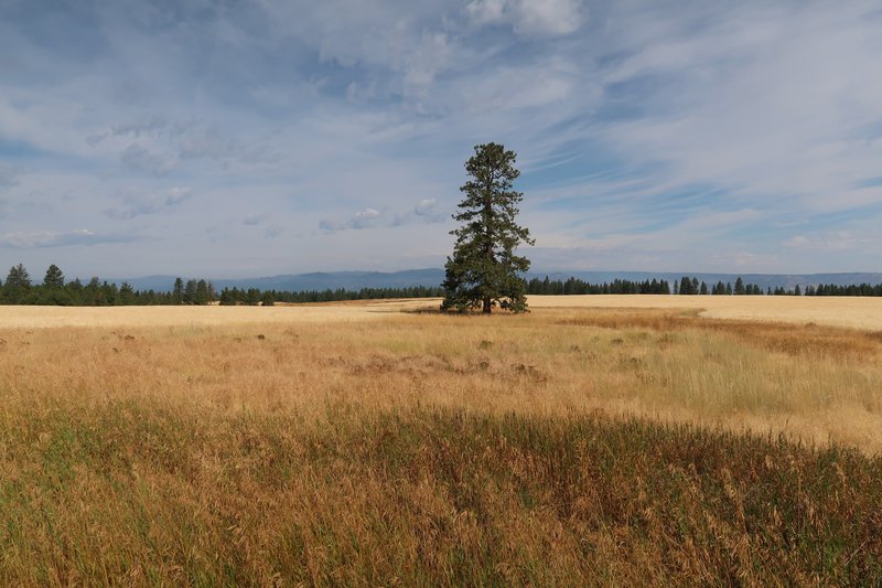
The route climbs up into the pine forest at about 4000 elevation in ranch land. The gravel roads had been easy, no ruts, no sand, no baby head boulders that characterize the Idaho BDR. I rode the Lolo Trail Motorway in 2007 on a Vstrom 1000. It was an easy smooth surface. In 2014 the Lolo Trail Motorway was included in the Idaho BDR. Since owning the DR650 I have bailed twice on the Lolo Trail Motorway because it is extremely rough, rutting and overused, even the BDR web page has updates indicated expert sections. This was on my mind while riding on the nice gravel roads today and then it pops into my head BDR means Bad Dam Roads. And the next idea is to make my own routes to places I haven't been that are not on any BDR.
Of course the adventure wasn't over. There is a lot of gravel on these well maintained roads and it was like riding on marbles. I came into a turn too fast and low sided. The bike was fine and so was I. The Mosko Moto panniers are expensive but just paid for themselves, they didn't even get scratched. The right hand guards got scratched and I only had to bend the brake pedal back into position. I picked the bike up without much trouble as the tires were on the low side. Now at home I will inspect the upper triple clamp and handle bar mounts for damage.
The rest of the day was uneventful.
In Lostine Oregon is the Blue Banana Coffee shop.
End of Day 1
Finally the heat and commitments have subsided and it is time to let the FJR sit and ride the Pig! So I looked at the Air Quality layer on Google maps and noticed the Oregon side of Hells Canyon was smoke free while other places I had my eye on were not. I hate forest fire smoke.
So it was on to Lewiston Idaho and ride down the Old Spiral Highway, once again! Ha it is tough living here.
You can see the road snaking down to the Snake River.
My first destination was see Hole in the Rock and I did! Hole in the Rock is about 9 miles off the Rattlesnake Grade route near Anatone Washington. I have road by many times but the DR650 opens lots of opportunities to ride where I haven't been.
I am about to drop into the slot just above the bike. It drops about 2700' in 4-5 miles. Easy gravel road and this become a theme on this ride.
Down, down, down I go, this hill I mean. Later in the day down, down, down I go was more literal.
I arrive at the bottom along the Grande Ronde River.
These mountain sheep and one had a tracking collar. Perhaps the one with the collar might be Bust in an alternate universe living his dream.
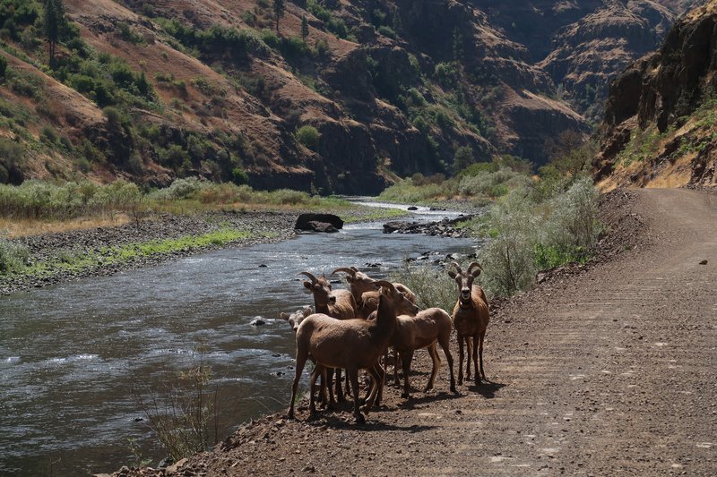
I rode right by them after taking a photo, happy they didn't try to ram me.
It was very scenic here and I was in my happy zone. Life is good.
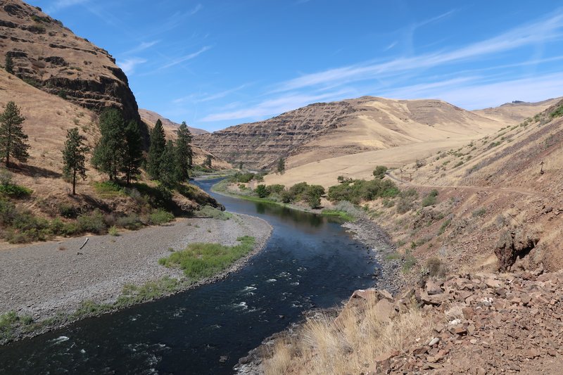
I have arrived!
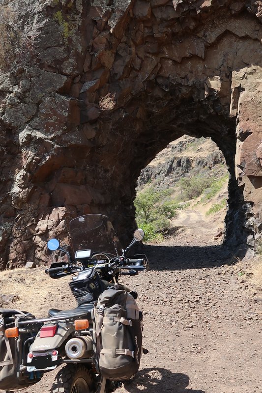
Just on the other side.
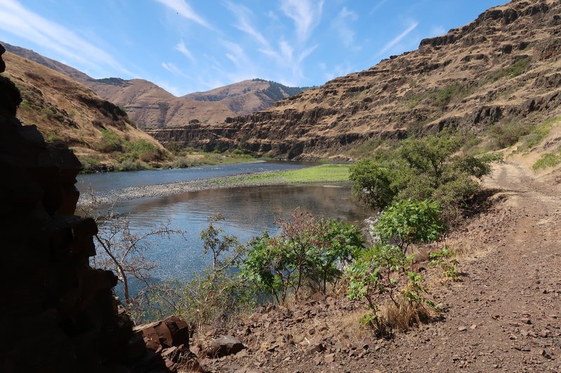
Hole in the Rock was created by pioneers seeking at homestead along the river.
The next objective was to ride west of Hwy 3, on the west side of Rattlesnake Grade and on down to Enterprise Oregon on gravel roads where I have never been. Woohoo!
I was riding along a ridge line and this came in to view.
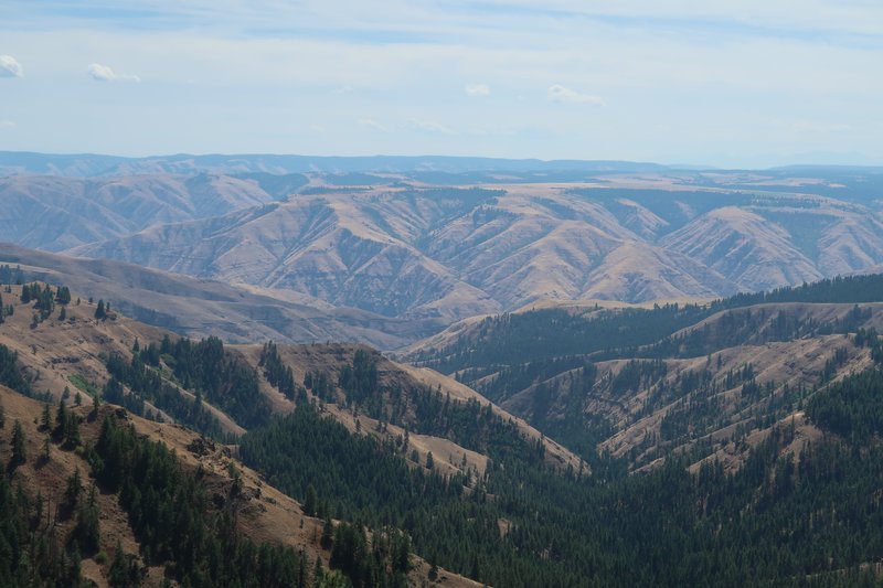
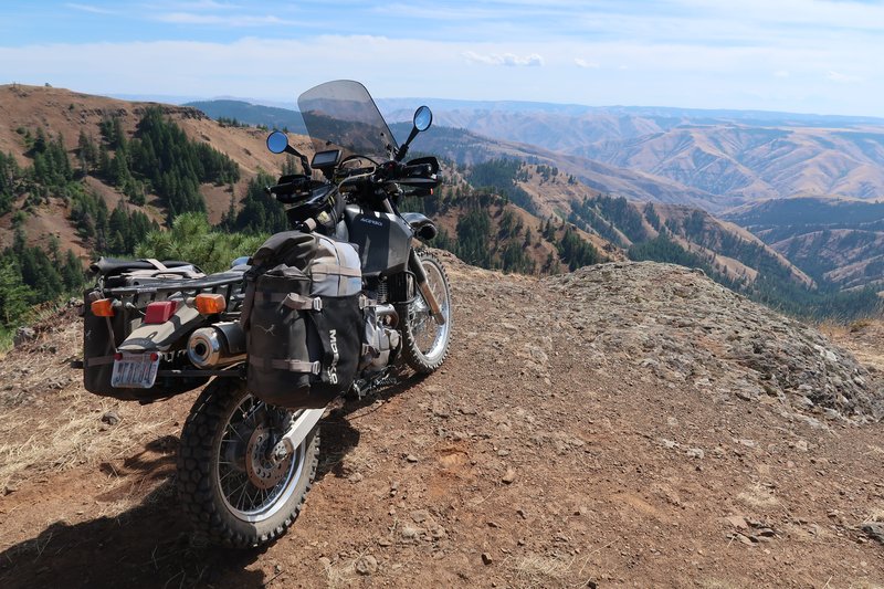
Add the Mighty DR650.
Then the adventure began. At an intersection there was a sign saying road closed. Not know which road at the intersection is closed, I suspect it refers to my route but plausible deniability, something Boeing is very good at, gave me the chance to risk it and keep on going. A few miles later I met with a Firefighter Medic who was very kind. We discuss why I didn't understand the sign and he provided some options. I could continue but the road was rough and there was active operations ahead or a I could just turn around. I choose to turn around and stay out of the way.
I was near the fire.
I went back out to Hwy 129 Rattlesnake Grade and rode it down to the Grande Ronde River. Tough duty. This is were I learned the newly installed IRC TR8 is very good on twisty pavement. It stuck like glue. Hardly new it was a knobby. Zow.
I rejoined the planned route on the Grande Ronde River near Cougar Creek. No Cougars where spotted of either the 2 or 4 legged variety.
Up we go.
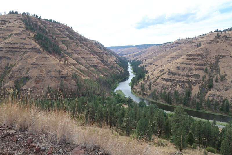
The route climbs up into the pine forest at about 4000 elevation in ranch land. The gravel roads had been easy, no ruts, no sand, no baby head boulders that characterize the Idaho BDR. I rode the Lolo Trail Motorway in 2007 on a Vstrom 1000. It was an easy smooth surface. In 2014 the Lolo Trail Motorway was included in the Idaho BDR. Since owning the DR650 I have bailed twice on the Lolo Trail Motorway because it is extremely rough, rutting and overused, even the BDR web page has updates indicated expert sections. This was on my mind while riding on the nice gravel roads today and then it pops into my head BDR means Bad Dam Roads. And the next idea is to make my own routes to places I haven't been that are not on any BDR.
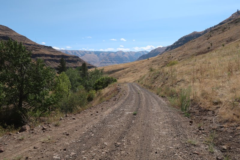
Of course the adventure wasn't over. There is a lot of gravel on these well maintained roads and it was like riding on marbles. I came into a turn too fast and low sided. The bike was fine and so was I. The Mosko Moto panniers are expensive but just paid for themselves, they didn't even get scratched. The right hand guards got scratched and I only had to bend the brake pedal back into position. I picked the bike up without much trouble as the tires were on the low side. Now at home I will inspect the upper triple clamp and handle bar mounts for damage.
The rest of the day was uneventful.
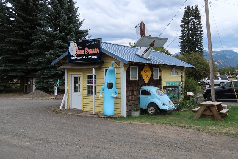
In Lostine Oregon is the Blue Banana Coffee shop.
End of Day 1
escapefjrtist, spklbuk, Cav47 and 6 others loved this
Searching for roads paved with Asphalt, unless I am riding the mighty DR650 bushpig.
-
- Veteran
- Posts: 367
- Joined: Wed Oct 04, 2017 10:55 pm
- FJRModel: 2007
- x 54
- x 651
Re: Hells Canyon Dual Sport Ride the Oregon Side
Looks fun Jim.
I've been into Imnaha, OR a few time but always on the FJR. One time having lunch at the Store/Tavern the store keeper said that you can get to the deepest part of Hells Canyon from there, always wondered if the big pig could get in and out.
Niehart, fontanaman, and bigjohnsd loved this
- fontanaman
- Contributor
- Veteran
- Posts: 3345
- Joined: Fri Mar 08, 2013 9:38 pm
- FJRModel: 2017 FJR, 2017 DR650
- Location: Spokane, Washington
- x 3633
- x 5050
Re: Hells Canyon Dual Sport Ride the Oregon Side
You could ride a big bore adventure bike into Dug Bar and Hat Point.
Searching for roads paved with Asphalt, unless I am riding the mighty DR650 bushpig.
-
- Contributor
- I post more than I ride
- Posts: 20428
- Joined: Wed Jan 16, 2013 6:10 pm
- FJRModel: 2013-Jwilly Special LD Delivery
- Location: Travelers Rest
- x 43741
- x 18939
Re: Hells Canyon Dual Sport Ride the Oregon Side
Beautiful photos and great text, both descriptive and funny. Thanks for taking us along Jim!
fontanaman and Niehart loved this
boatanchor, 3rd class.
- fontanaman
- Contributor
- Veteran
- Posts: 3345
- Joined: Fri Mar 08, 2013 9:38 pm
- FJRModel: 2017 FJR, 2017 DR650
- Location: Spokane, Washington
- x 3633
- x 5050
Re: Hells Canyon Dual Sport Ride the Oregon Side
Day 2
The goal today was to not fall over. I didn't want to pickup the beast again. Secondary was to ride to Hat Point, Dug Bar and Buckhorn Overlook.
Right away the adventure began. The GPS reported "Can't Calculate the Route". I tried the Garmin and Open Street Maps and got the same response with each. Shucks. So I remembered Hat Point was outside of Imnaha so I set a route to Imnaha. The GPS was set to allow gravel roads. Well the silly thing thought gravel roads was the quickest way but it is not. I went on roads I'd never been and lost some time in the process.
Upon arriving in postage stamp size Imnaha, elevation 2250', there was a sign, Hat Point Road. Perfect. Garmin map returned zip when I typed in Hat Point. Open Street Map was better, it had a point and was route-able so I used it. The road went up quickly.
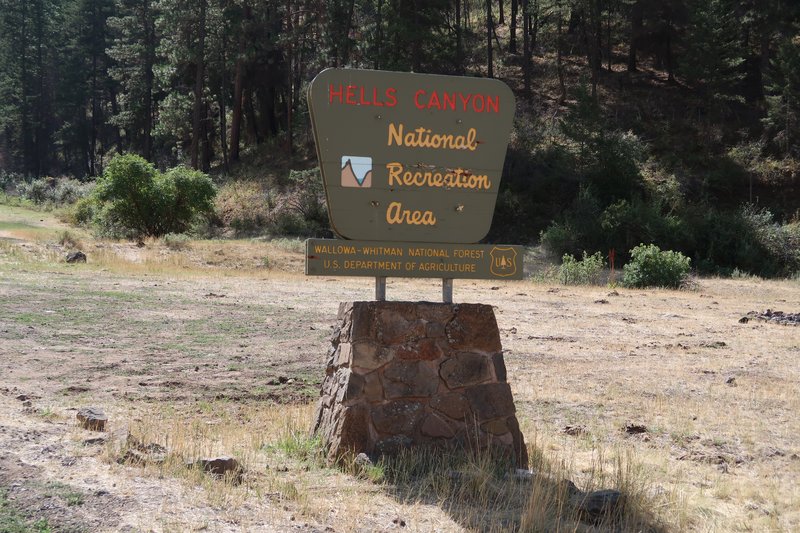
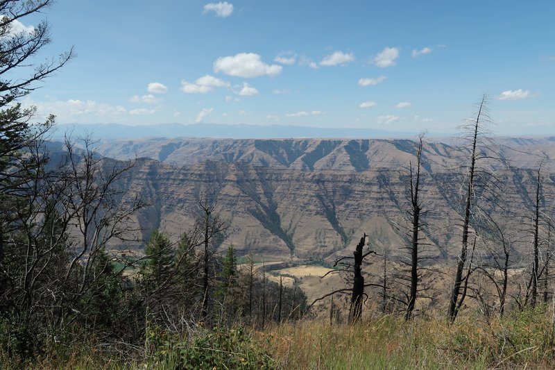
I had arrived at Hells Canyon!
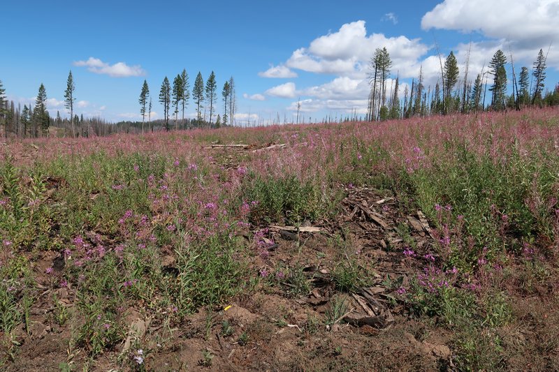
This is a great road. It climbed to about 6500' elevation and followed a ridge to Hat Point. It was 24 miles of very enjoyable easy riding.
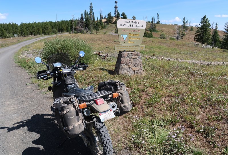
There was a sign welcoming visitors to Hat Point Recreation Area. Perfect. Photo time. So I stop the bike, put down the kick stand, dismount and walk away. I turn around to get the shot and the bike was taking a nap. Rats! This time the wheels were higher than the rest of the bike. I removed a saddle bag and after a few attempts got the beast upright. During this process I installed a one way check valve on the fuel tank vent line to stop the gas leak. It didn't work and left it on after up-righting the bike. Good grief, with a full tank of fuel that wasn't easy. Once I got it up I had to straighten the gear shift lever and I was on my way. With all the effort exerted lifting the bike I was in no mood climb up the fire lookout tower.
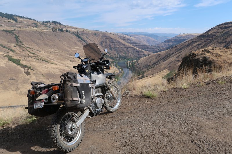
So here is my photo. You can see the gravel is shuffled to the left of the bike where it fell.
One the other side of Hells Canyon is the Seven Devil's mountain where Doug, Robert and I were a few years ago. And there was fire smoke on the Idaho side just south of Seven Devil's. Good to be on this side.
I started back enjoyed the scenery and perfect temperatures.
Along the way the speedometer clicked over to 161616.1 miles. I took a photo but it was blurred.
The next objective was Dug Bar. This was a 25 mile down and back. I was making about 20 mph on this road. It was a bit rougher than the road to Hat Point.
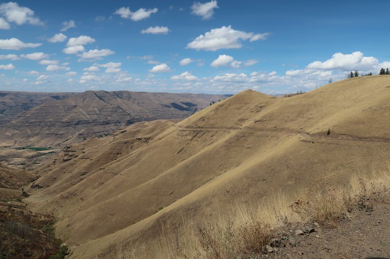
Down we go. Check out the striation in the rock. It looks like German chocolate cake and it likely from the Columbia River Basalt Group from 17-14 million years ago. Each striation represent an individual flow or lava event.
The Dug Bar road is elevation 1400', 5000' lower than along Hat Point, so it was much warmer. After 15 miles I was getting hot and ready to turn around and try get back up in elevation to Buckhorn Overlook. It was slow going so with 10 miles left I turned around.
I used the route on the GPS to Buckhorn Overlook and off I went. The GPS said turn right on Fence Creek Road and it was signed a private driveway. There wasn't a no trespassing sign so I decided to go ahead. After all what were the options? 1) Give up and call it a day. 2) Go down the road and it is a dead end or not passable. 3) Go down the road and get through. 4) Go down the road and meet a landowner.
Being this was adventure ride, I got option 4, as hostile landowner chased me down on a side by side and was yelling at me. She was hot and I am not talking good looking. While I was pulling over and shutting down the DR650 it reminded me of GixxerJasen's post, telling his wife he was going riding on Saturday. She crossed her arms, glared at him, huffed and flared her nostrils and said to him "On my birthday?"
This lady was huffing, puffing and flaring her nostils. I remained calm, internally amused at recalling Jason's post, and I can't hear her while and shutting off the bike, the music and opening my visor but no matter because the whole time she is fuming and jawing. Anyhow I got to the point telling here where I was trying to go. She just said you have to go around. Go around what I asked? That got her to shut up but only for brief moment. So I turned around got off her property and stopped to look at my Oregon Recreational Atlas. There was no Fence Creek Road on it. And going around meant there was no access to Buckhorn Overlook from the south side of the mountain so going around meant the whole damn mountain. I decided to call it a day as the route back to the hotel in Enterprise Oregon was about 1 hour and the arrival time was 4:30 or so and at this point a beer sounded great!
So I was off to Enterprise on Hwy 350 a paved road just enjoying the remains of the day when the bike suddenly stopped running.
Remember the one way check valve I installed in the fuel vent line at Hat Point? Well it had failed due to dust and wasn't allowing the tank to breath so the bike died. Once I disconnected the check valve the bike fired up and on I went. Those check valves are a gimmick for sure. The beer at Terminal Gravity Brewing was great!
End of Day 2.
escapefjrtist, N4HHE, spklbuk and 7 others loved this
Searching for roads paved with Asphalt, unless I am riding the mighty DR650 bushpig.
- fontanaman
- Contributor
- Veteran
- Posts: 3345
- Joined: Fri Mar 08, 2013 9:38 pm
- FJRModel: 2017 FJR, 2017 DR650
- Location: Spokane, Washington
- x 3633
- x 5050
Re: Hells Canyon Dual Sport Ride the Oregon Side
Day 3
Started the day at a nice coffee shop in Enterprise Oregon called Sugar Time where I had a great breakfast sandwich with my coffee. There were some grumpy folks in the coffee shop and there conversations intruded even though I sat as far away as I could.
I played all the Credence Clearwater Rival music I had on my GPS as I left Enterprise. My wife and I went to see John Fogerty in Spokane last week. He was on tour to celebrate owning all his music again after all these years. He calls it the Celebration tour. What a performer. Nothing but fun. CCR's album Chronicle is in the top 200 albums week after in 2024. Rolling Stone did an excellent article titled The Biggest Band in America in 2024 Is … Creedence Clearwater Revival. Please read it you won't be sorry.
I head north on Oregon Hwy 3 until I get to the turn off for the town of Flora Oregon. This town is 35 miles from Enterprise Oregon and is at 4300' elevation. Internet searches say it is a ghost town but it looked like people live here and I was wondering how they do that in winter. They must have a lot of supplies on hand and are very hardy people who like to be alone. My wife and I are used to the easy life. When it snows the streets are plowed quickly on the school bus routes, about a block away, the stores are a 5 minute drive away so if we need basil or any little thing we have it. I just can't imagine living out here and given how few people live in here I suppose my wife and I are in the majority.
The reason I am here is to ride the Redmond Grade road from Flora the Grande Ronde river.
Another easy gravel road.
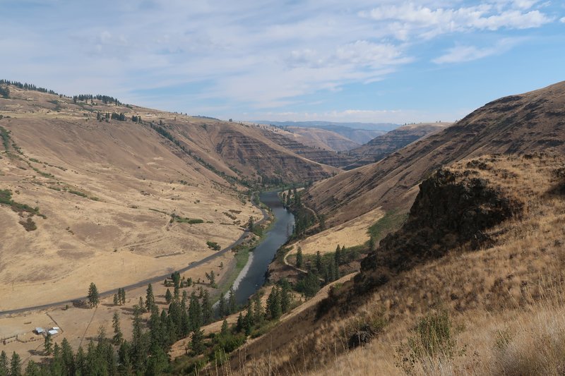
The road drops about 2700 feet to the river.
River overlook.
Remove the bike.
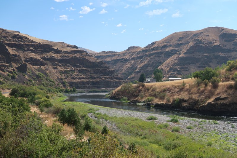
Riding along the Grande Ronde River.
It was a great day to be riding the Mighty DR650. It is amazing how much fun you can have with 36.5 horsepower.
The Credence music ended so I cued up all of the Steely Dan albums on the GPS's music player. It lasted until I was Home at Last.
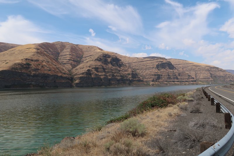
I wound my way up the Rattlesnake Grade on Washington Hwy 129 and into Lewiston Idaho where I decide to take the Wawawai Road along the Snake River because it is remote and I haven't been on it in 18 years.
In a few places the air stunk and it appeared there was algae in the river. My idyllic river ride was but a memory as a breathe in this rotten smell. Fortunately it was shorted lived.
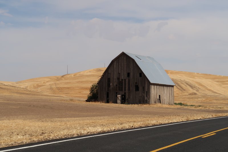
I left the river on Hwy 194 to return to the Palouse farmland where they are harvesting the wheat.
It was a great day to be on the might DR650, it is amazing how much fun you can have with 36.5 horsepower.
Toter, Hppants, bigjohnsd and 5 others loved this
Searching for roads paved with Asphalt, unless I am riding the mighty DR650 bushpig.
-
- Contributor
- I post more than I ride
- Posts: 20428
- Joined: Wed Jan 16, 2013 6:10 pm
- FJRModel: 2013-Jwilly Special LD Delivery
- Location: Travelers Rest
- x 43741
- x 18939
Re: Hells Canyon Dual Sport Ride the Oregon Side
Awesome photos! I bet you even tried to wheelie on that magical 36.5 hp.
fontanaman loved this
boatanchor, 3rd class.
- fontanaman
- Contributor
- Veteran
- Posts: 3345
- Joined: Fri Mar 08, 2013 9:38 pm
- FJRModel: 2017 FJR, 2017 DR650
- Location: Spokane, Washington
- x 3633
- x 5050
Re: Hells Canyon Dual Sport Ride the Oregon Side
No wheelies. I don't want to pick the Bushpig if I can help it.
Searching for roads paved with Asphalt, unless I am riding the mighty DR650 bushpig.
-
- Veteran
- Posts: 367
- Joined: Wed Oct 04, 2017 10:55 pm
- FJRModel: 2007
- x 54
- x 651
Re: Hells Canyon Dual Sport Ride the Oregon Side
You keep sending me to the Map Jim to see what I've done and haven't! Rode in aways from Boggan's but gave up after awhile, neither Pop's back or mine liked it much on the FJR's.
Good read Jim thanks for sharing.
wheatonFJR and fontanaman loved this
- escapefjrtist
- Veteran
- Posts: 1240
- Joined: Sat Jan 19, 2013 12:51 pm
- FJRModel: '15 FJR 1300A
- Location: Snohomish WA
- x 2159
- x 1772
Re: Hells Canyon Dual Sport Ride the Oregon Side
Thanks for the ride-along and pics Fontanaman!
~G
~G
fontanaman loved this
IBA34365
'15 FJR-USD-A
'18 Tenere
'15 FJR-USD-A
'18 Tenere
- Hppants
- Contributor
- I post more than I ride
- Posts: 6999
- Joined: Wed Oct 19, 2016 9:22 pm
- FJRModel: 2021ES
- x 13791
- x 12749
Re: Hells Canyon Dual Sport Ride the Oregon Side
Enjoyed the report as expected, Jim.
Really, once you've got CCR, Donald Fagan, and the Bush Pig, you're about 85% there regardless.
I'm jonesing about riding the northwest again. If I trailer that way, I'd bring both bikes of course. The gravel sure looks fun.
Really, once you've got CCR, Donald Fagan, and the Bush Pig, you're about 85% there regardless.
I'm jonesing about riding the northwest again. If I trailer that way, I'd bring both bikes of course. The gravel sure looks fun.
fontanaman loved this
"I guess it comes down to a simple choice, really. Get busy living. Or get busy dying."
- Andy Dufresne, Shawshank Redemption